- Product details
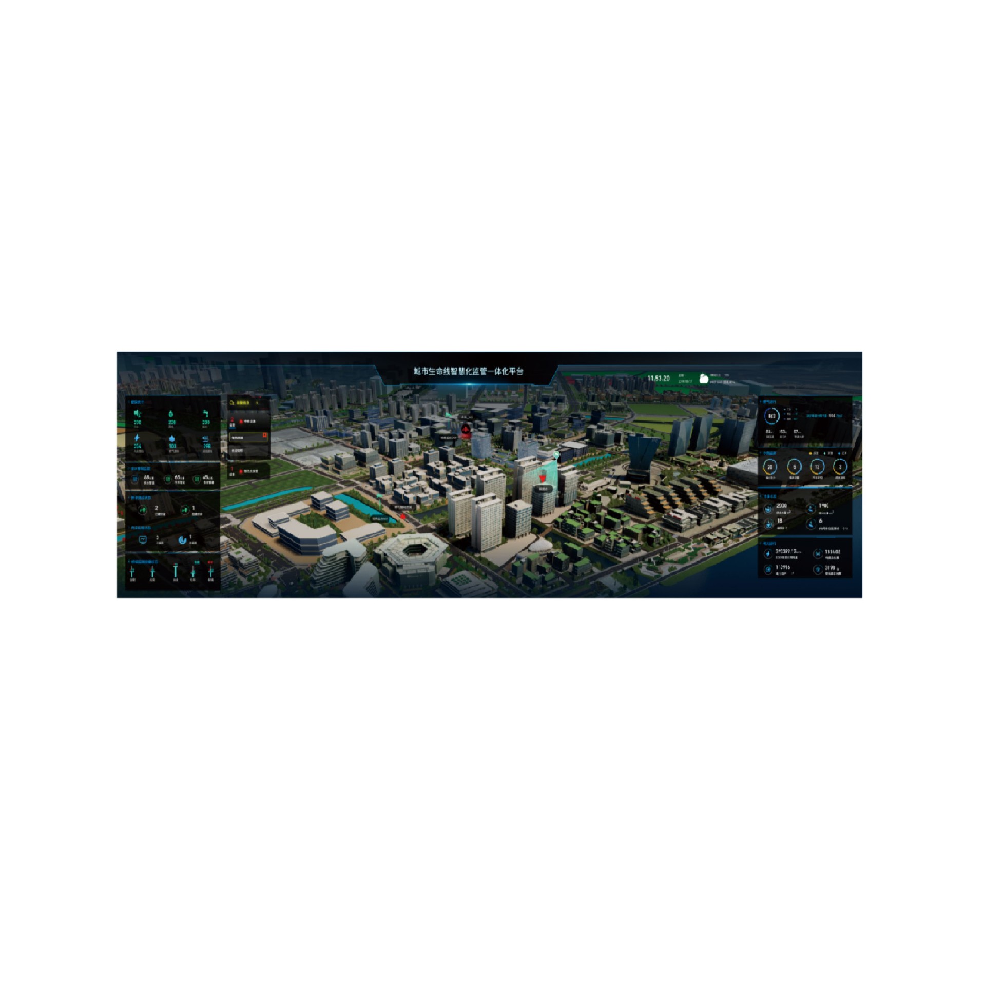
Through the Internet of Things, big data, Internet, cloud computing, BIM/GIS and other advanced technologies, Sanleng conducts real-time monitoring of lifelines such as water supply, drainage, heat, gas, electricity, communication, traffic Bridges, and integrated pipe corridors in the city, and integrates the perceived data to realize timely perception of the risks of the urban lifeline system, early prediction and warning, and efficient disposal and response. Ensure the safe operation of the city's lifeline.
System function
Risk monitoring: real-time monitoring, GIS mapping, alarm setting, push, disposal and analysis;
Analysis and early warning: accident prediction, risk research and judgment, coupling analysis, risk early warning;
Joint handling: early warning push release, hierarchical response, emergency linkage.
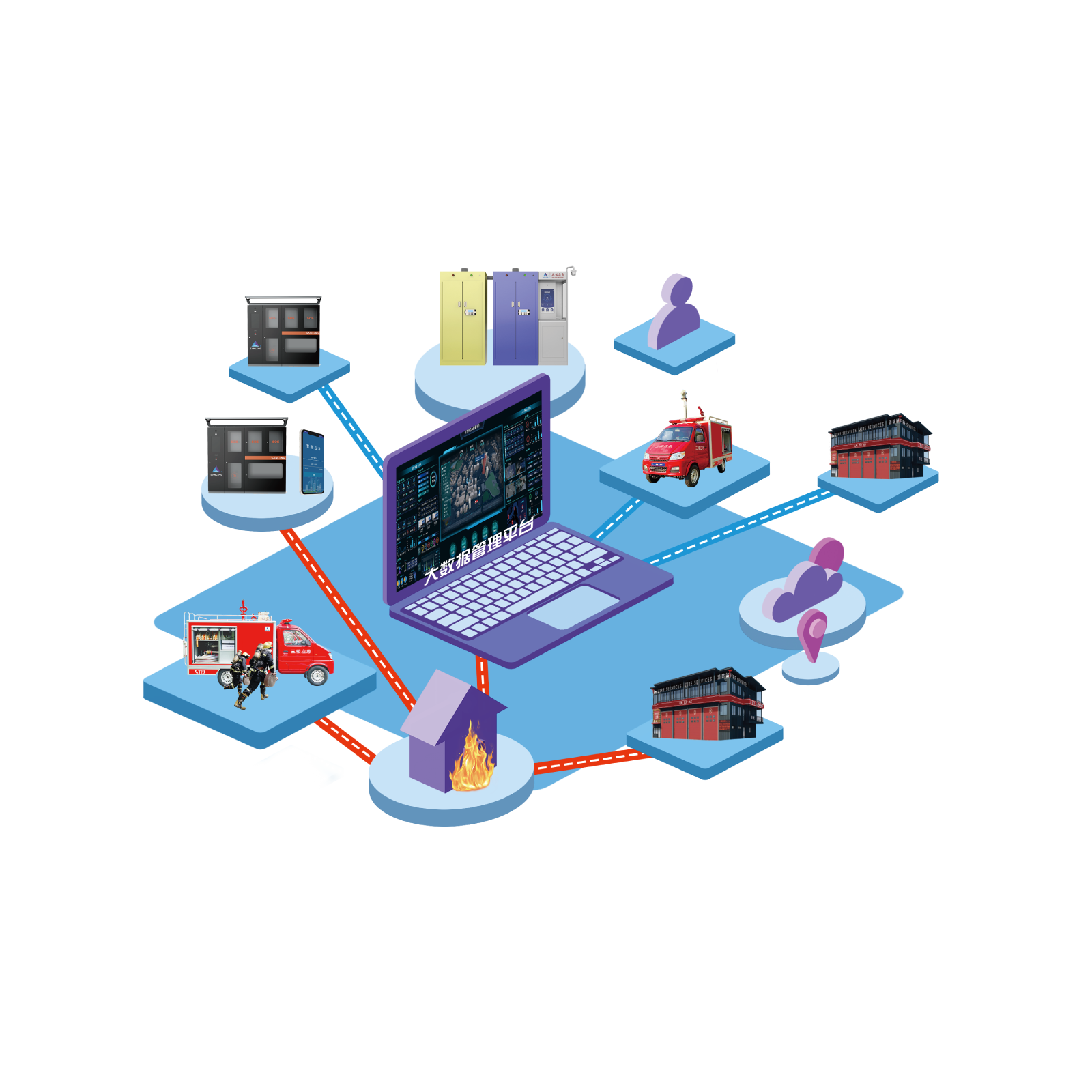
System architecture

System advantage
◇ "One map" form shows the overall operation and risk situation of the city;
◇ Comprehensive, multi-level, three-dimensional urban risk monitoring and early warning platform;
◇ Multi-subject, linkage emergency management coordination mechanism;
◇ Improve the safety of urban lifeline facilities;
◇ Improve urban emergency response capacity;
◇ Optimize urban management and operation efficiency.


